
Chaitali Bag
The Indo-Pacific GeoIntelligence Forum (IPGF) 2026, held at the Manekshaw Centre in New Delhi on June 2, was a dynamic, forward-looking convocation that underscored how geospatial technologies and networked information are revolutionizing defence and security across the Indo-Pacific. Over two days, the forum convened a distinguished mix of senior military leaders, defence strategists, policymakers, scientists, technology innovators, and industry representatives to wrestle with a crisp, urgent theme: “Geospatial Infrastructure Enabling Network-Centric Warfare.” The buzz in the halls and the intensity of the discussions reflected a shared conviction: the future of military operations rests on the seamless fusion of geospatial data, artificial intelligence, satellite networks, unmanned systems, and real-time intelligence flows.
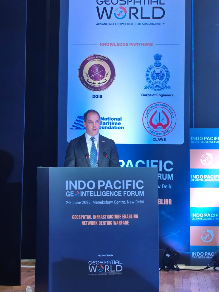
From the very outset, IPGF 2026 set an energizing tone. Lt Gen A.K.S. Chandele’s welcome address framed the forum’s discussions in clear, strategic terms. By declaring the current year the “Year of Networking and Data Centricity” for the Indian Army, he spotlighted a decisive institutional pivot toward data-driven operations and network-enabled warfare. His words resonated as both a directive and an invitation, an imperative to modernize and a call to partner. Equally significant was his warm acknowledgement of international participation by officers and delegates from Sri Lanka, Malaysia, Indonesia, Vietnam, Thailand, and the Philippines. That presence underscored IPGF’s growing role as a regional platform for collaborative thinking, trust-building, and capability alignment in an increasingly complex security architecture.
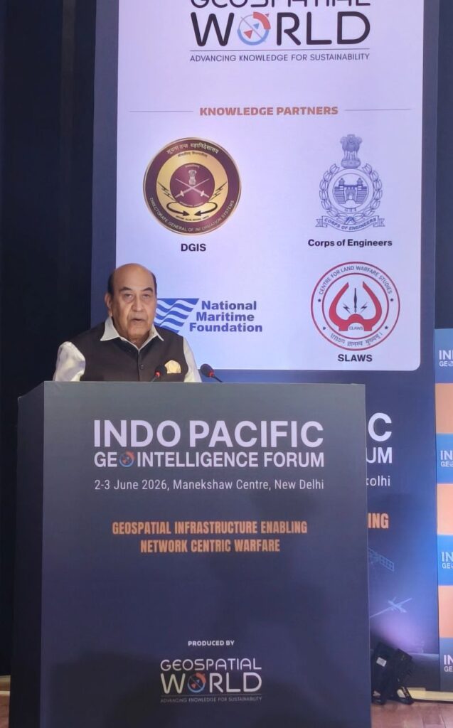
“Geospatial Intelligence has become the central nervous system of warfare,” declared Hon’ble Lt Gen Syed Ata Hasnain at the Indo Pacific GeoIntelligence Forum 2026; a line that electrified the room and captured a new strategic truth. In an age where seeing first, analysing first, and acting first decide outcomes, space and geospatial technologies are no longer optional tools but indispensable instruments of national power. The Governor’s forceful linking of sovereignty to informational mastery reframed 21st‑century security: territorial control alone is insufficient; true strategic sovereignty rests on the ability to own, interpret, and protect information.
Equally compelling was Shri AS Kiran Kumar’s measured counsel. The former ISRO chairperson tempered technological zeal with humane realism, urging us to resist outsourcing judgment to AI and to rethink utopian space fantasies in favour of healing and securing our home planet. His plea to make Earth livable for everyone, thoughtful, pragmatic, and profoundly humane, brought balance to the Forum’s urgent strategic discourse.
Together, these voices embodied the Forum’s vital synthesis: bold operational readiness anchored by ethical wisdom. That tension between the immediacy of geospatial power and the long‑term imperatives of human stewardship is precisely what Geospatial World cultivates. By convening divergent yet complementary perspectives, the Forum did more than diagnose the challenges of our era; it sketched a pathway toward inclusive, informed solutions. After two days of sharp insight and hopeful resolve, one thing was clear: mastering the maps of tomorrow demands both technological mastery and a compassionate compass.
Lieutenant General Syed Ata Hasnain’s remarks at the inaugural session struck a resonant chord: modern conflict is less about raw force than about who can see, understand, decide and act faster. His framing—systems of visibility as the defining arena of twenty-first-century warfare —captures the transformation of geography into a continuous, data‑rich battlespace. That insight has profound implications not only for military strategy in the Indo‑Pacific but for national resilience, governance, and economic life. India stands at a strategic inflection point: the imperative is clear- build informational sovereignty and indigenous ecosystems across the technology stack to survive and thrive in this new era.
Modern conflict has evolved. Yesterday’s emphasis on attrition and platform counts is giving way to contests over awareness and tempo. The advantage accrues to actors who can sustain observation, rapidly fuse diverse data streams, and translate insight into timely, decisive action. In this context, geospatial intelligence (GEOINT) is not an ancillary capability; it is central. Persistent geospatial awareness, covering maritime corridors, coastal installations, critical infrastructure, and urban terrain, constitutes both a deterrent and an operational advantage in the Indo‑Pacific’s dense strategic environment. Tracking shipping patterns, monitoring ports and undersea infrastructure, and sustaining maritime domain awareness depend fundamentally on integrated geospatial systems that can operate at speed and scale.
Contemporary conflicts demonstrate these dynamics vividly. The Ukraine campaign showed how satellite imagery, drones and open‑source intelligence can produce unprecedented battlefield transparency, enabling rapid targeting and adaptive operations. Urban combat in Gaza underscored the need for hyperlocal precision mapping and persistent intelligence, surveillance and reconnaissance (ISR) to navigate complex built environments and subterranean threats. Meanwhile, incidents of GPS spoofing in regions like the Persian Gulf and Red Sea reveal how reliant modern systems are on navigational and timing signals and how vulnerable highly networked militaries and economies can be to contested information environments.
These lessons converge on a single strategic truth: information dominance is a core determinant of effectiveness, and dependencies on foreign satellites, cloud platforms, external AI models or third‑party data ecosystems are strategic vulnerabilities. Sovereignty in the twenty‑first century must extend to the informational domain. For India, with its vast coastline, dense population centers, and rapidly digitizing economy, the resilience and sovereignty of geospatial architecture is a national security imperative. Protecting space‑based assets from cyber intrusion and antisatellite threats, ensuring sovereign data storage and compute, and cultivating trusted AI and machine‑learning pipelines are essential steps.
AI and machine learning are reshaping geospatial intelligence by enabling rapid pattern recognition, anomaly detection and predictive analytics at scales that are impossible for human analysts alone. But these capabilities are only as trustworthy as the data, models and infrastructure that support them. Hence, India’s need to build an indigenous, end‑to‑end ecosystem from satellites and sensors to sovereign cloud, trusted AI models, and a skilled human capital base cannot be overstated. Such an ecosystem enhances operational security, reduces external chokepoints, and fosters innovation tailored to regional strategic realities.
Moreover, GEOINT’s value extends well beyond military utility. It is a pillar of national resilience and effective governance. India’s geographical diversity and climate vulnerability make timely geospatial data indispensable for disaster preparedness, response and recovery. Climate change—rising seas, shifting weather patterns, intensifying cyclones and flood events transforms environmental phenomena into strategic challenges. Accurate, persistent geospatial monitoring underpins early warning systems, infrastructure planning, and adaptation strategies that protect lives and livelihoods. In agriculture, precision farming and data‑driven crop forecasting promise productivity and sustainability gains that will hinge on robust geospatial services. In short, geospatial infrastructure is rapidly becoming foundational national infrastructure that supports defence, development, and economic continuity alike.
Encouragingly, India is already moving decisively. The domestic space and geospatial ecosystem has made notable strides: indigenous satellite programs, a flourishing private sector offering innovative small‑sat and analytics capabilities, and deeper collaboration across government, industry and academia. Opening the space sector has energized entrepreneurship and brought fresh capacity to the national table. Initiatives to declare institutional priorities—like the Army’s forward‑looking timelines- signal an operational commitment to integrate GEOINT across doctrine and force structures.
Yet momentum must now be translated into durable strategic posture. That means investing in sovereign satellites and resilient ground infrastructure, developing trusted national clouds and AI pipelines, expanding human capital in geospatial sciences, and creating regulatory and procurement pathways that sustain indigenous innovation. It means building interoperable systems that fuse space, aerial, maritime and terrestrial sensors into coherent, secure decision‑support chains. And it means embedding geospatial capabilities into civilian governance, disaster management, urban planning, agriculture and climate adaptation, so that national resilience becomes as distributed as the threats it prepares for.
Lieutenant General Hasnain’s keynote reminds us that the future will be decided not by platforms alone but by the clarity and speed of perception and decision. For India, that future offers both challenge and opportunity. By prioritizing informational sovereignty and cultivating an end‑to‑end national geospatial ecosystem, India can secure strategic advantage in the Indo‑Pacific, protect its people from natural and man‑made crises, and create a platform for sustained economic and technological leadership. The moment is ripe; the task is urgent and the payoff will be a safer, more resilient, and more capable nation.
Throughout the forum, recurring themes emerged with startling clarity. First, geospatial intelligence (GEOINT) is no longer a specialist niche; it is a foundational enabler of modern command and control. Whether shaping tactical battlefield choices, securing maritime approaches, or informing strategic deterrence calculations, geospatial frameworks translate raw sensor feeds into coherent, actionable pictures. Participants repeatedly emphasized that GEOINT fuses diverse inputs—satellite imagery, airborne ISR, drone feeds, environmental and infrastructure datasets, and open-source reporting — into a common operating picture that serves as the basis for shared situational awareness.
Second, the technical and operational architecture underpinning network-centric warfare depends on data interoperability and a common reference framework. Christopher Fowler, Esri’s National Government Team Lead for Asia Pacific, delivered a keynote that powerfully crystallized this point. Fowler argued that modern defence and intelligence environments no longer struggle to gather data; they drown in it. The pressing challenge is integration, bringing disparate, heterogeneous datasets into a geographic information system (GIS) framework so that analysts, commanders, and operators can see patterns, correlate events, and generate timely insights. His message was emphatic: the decision advantage flows from a single, trusted foundational dataset that all stakeholders use; only then can speed, coherence, and coordinated action be achieved.
Closely related to the theme of data integration was the discussion of multi-domain fusion. Across panels and presentations, speakers highlighted the need to weave together geospatial, human, signals, measurement, and open-source intelligence. This fusion is not merely a technical exercise; it is an operational necessity for confronting modern grey-zone activity, those ambiguous, deniable threats that intentionally blur military and non-military lines. Fowler’s insight that “the challenge isn’t just detecting individual events, it’s connecting them” captured the essence of the problem: sophisticated adversaries exploit fragmentation and information gaps, and only by correlating multiple streams of intelligence can their intent be revealed and countered effectively.
The conference also resonated with optimism about technological innovation. Advances in satellite constellations, small-satellite imaging, persistent ISR, drone swarms, machine learning, and edge computing were showcased as transformative enablers. Panellists described how AI-driven analytics can accelerate the intelligence cycle—ingesting imagery, detecting anomalies, and prioritizing cues for human review, while edge processing and resilient communications ensure that insights reach decision-makers and tactical units when and where they are needed. The theme of network resilience threaded through discussions: in contested environments, ensuring continuity of geospatial services and data sharing under duress is as important as raw sensing capability.
